Geolocation
fleet
A precise vision,
in real time

Thanks to our geolocation service, you can visualize your entire fleet: optimize routes, rationalize operating costs, and reduce fuel consumption and pollutant emissions.


Geolocation: global, instantaneous and detailed
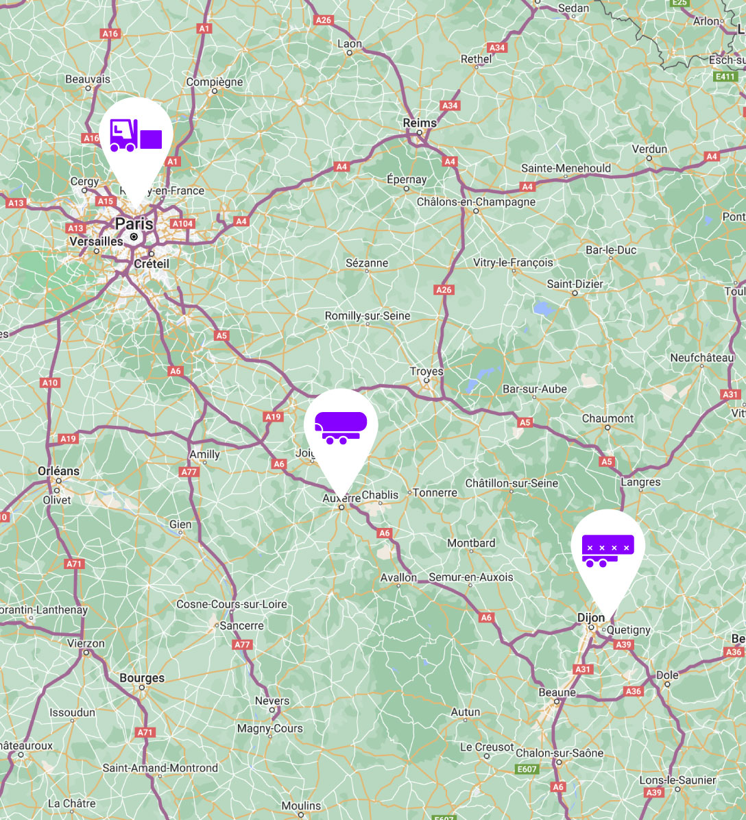
The geolocation service, whether for trucks, light vehicles, construction machinery, coaches or connected objects, provides a highly ergonomic, real-time overview of your fleet, with simple Internet access. It can also be deployed on trailers, swap bodies, etc.
Readable
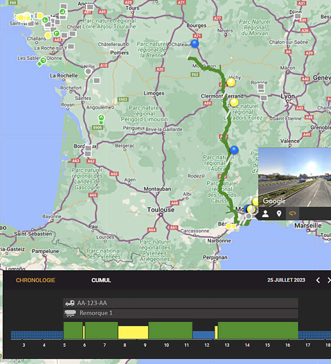
The clear, ergonomic map shows the position of each vehicle and/or trailer, allowing you to adapt the assignment of your mission orders if necessary. The geofencing function includes an alert system.
Customizable
In addition to viewing your entire fleet, filter systems allow you to select specific control points. Positions can be shared with third parties.
Complete
All the information you need to rationalize costs is available on a single screen (distances and gradients, tolls, driver activity, etc.).
Simplify management and reduce costs:
Geolocation functions

Map legibility

Route optimization

Archiving

Via API
Hardware
The TruckBox
The easy-to-install box at the heart of the geolocation service for all vehicles.

Hardware
E.P Box
The stand-alone connected box for optimizing trailer utilization.

Tool
The driver app
The app allows routes to be transmitted to drivers.

Tool
The web portal
An ideal tool for optimizing itineraries, adapting mission orders, rationalizing costs...

Tool
THE API
Integrate the geolocation module via our well-documented API.

In short: a powerful geolocation system
Fleet geolocation gives you a precise, real-time overview of all your vehicles. Thanks to a clear, ergonomic map, you can optimize routes, reduce operating costs and cut pollutant emissions. Features such as route calculation, archiving and third-party data integration are available via an API. This solution offers comprehensive, configurable management of your fleet.
Simplify management and reduce costs: